
Advanced Geoinformatics for Natural Resources
Water Resource Management
Remote assessments and forecasts of freshwater and soil resources
Public Health
Vector-borne disease monitoring and mitigation
Catastrophe Risk Management
Flood and drought forecasting and impact assessments
Biodiversity
Habitat suitability modelling and biodiversity mapping
Transnational Challenges
Dynamic mapping of environmental resources, terrain and other variables
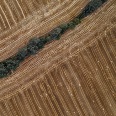
Agriculture & Forestry
Soil quality, crop suitability and analytics
We empower our customers with actionable analytics and forecasts that surpass conventional earth observation solutions.
Margosa is working with government agencies, leading global non-profit organisations and the private sector in tackling the most pressing challenges affecting human welfare, environmental sustainability and natural resources. We are delivering advanced geoinformatics that harnesses the power of machine learning and big data with cutting-edge Open Source programming technologies.
Operational in the United Kingdom, Continental Europe, Africa, India and the USA, we have an ever-increasing footprint as we respond to needs across the globe.
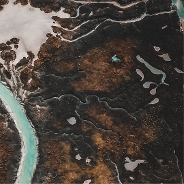

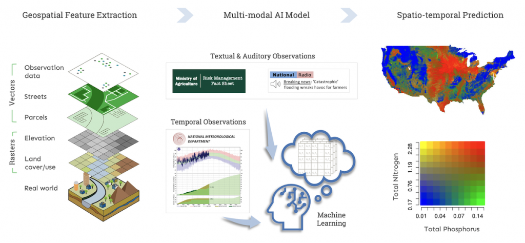
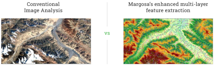
Extract high-precision features not obtainable through conventional earth observation, e.g.
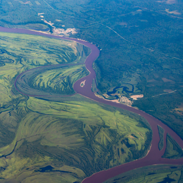
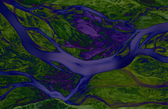
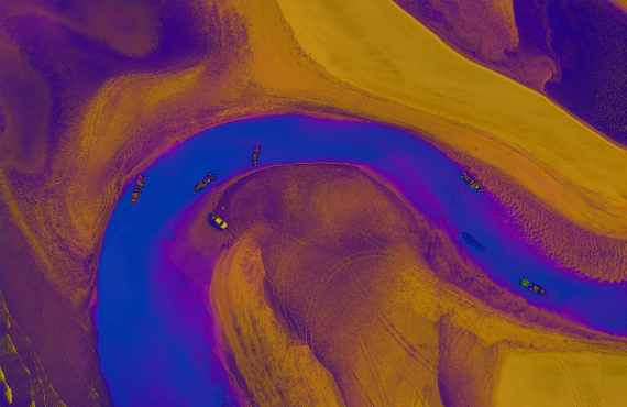
Basin delineation
Small & large stream networks (& various stream features)
Volumetric flow rate
Water quality & nutrient concentration
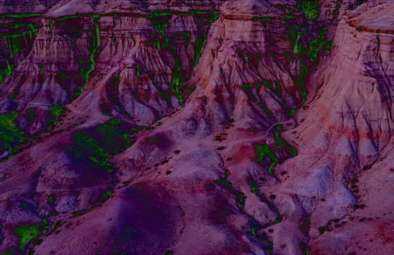
Soil erosion
Sub-surface soil characteristics
Other hydro-geomorphology
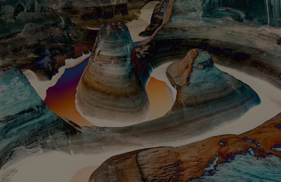
Web GIS interface for stream network and watershed analysis: Cost-effective; on-demand; any location worldwide
Surface water discharge and quality analytics at high spatio-temporal resolutions: Historical, real-time and future
Comprehensive hydrogeomorphology: Discharge; stream width, depth & roughness; sediment flow, etc
Capture unseen / inaccurately estimated variables for freshwater quantity & quality
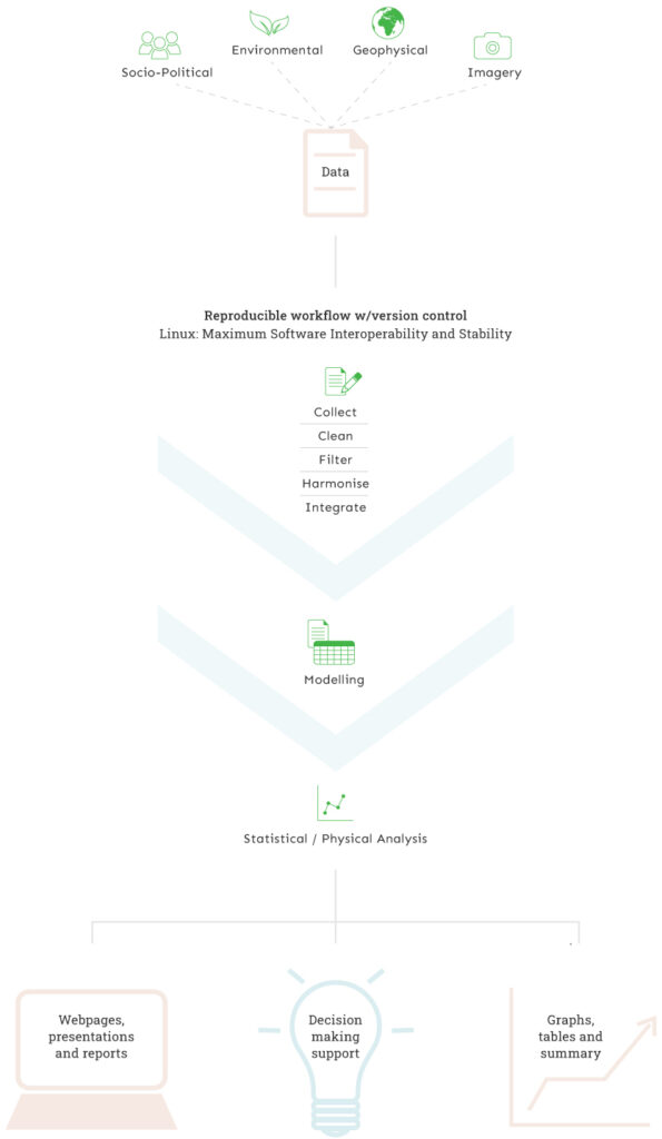
Machine learning integration of environmental big data and GIS technologies
Automated data harmonisation worldwide
Scalable & customisable platform built entirely with open source languages
Open Magazine
Cartographer’s Day
Liberalisation of map-making is a gamechanger for the economy— but with this freedom, too, comes a big responsibility
Read More
The Margosa team’s core expertise comprises geo-computation, hydrology, environmental engineering, mathematics and finance.
Each of us has over 20 years of commercial and academic experience in our respective fields that span geoinformatics, water and waste management, renewable energy, forestry and chemical engineering.
-
Margosa develops pioneering geodata solutions using advanced open source technologies and machine learning frameworks, which enable the integration of massive environmental and GIS datasets.
We offer cost-effective, scalable and secure global data analytics platforms for government, multilateral, corporate, educational and not-for-profit institutions. - Our mission is to transform complex natural resource information into practical knowledge for decision makers and stakeholders alike.