
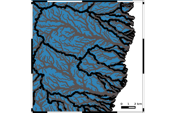
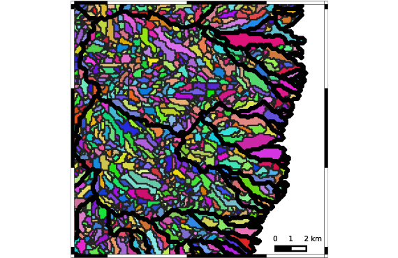
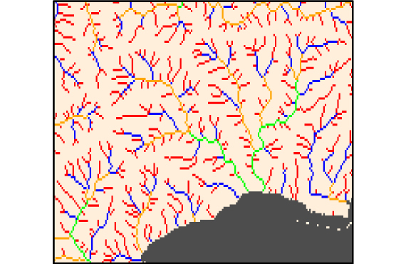
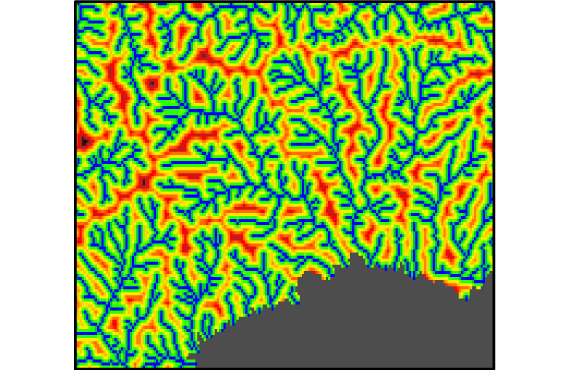
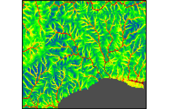
Margosa produces high-resolution hydrographic and hydrological data and maps. We have developed a data-driven hydrological solution based on proprietary algorithms operating in a machine learning framework.
With integrated remote-sensing, these analytics enable freshwater discharge forecasts and the analysis of long-term trends. Our scientifically peer-reviewed modelling approach integrates satellite information, digital elevation models, environmental predictors and gauge station data to yield superior yet cost-effective water quantity and quality analytics worldwide.
Built entirely on open source technologies, Margosa’s turnkey analytics are a high-accuracy alternative to conventional hydrological surveys and satellite-derived products. They allow continental to district-scale area studies to be conducted in very fine detail.
Hydrological applications include:
- Flood, drought & erosion risk
- Water quality assessments
- Public health, e.g. vector-borne disease modelling
- Agrochemical nutrient & greenhouse gas dynamics
- Ecological management
- Transboundary issues and others
Collaborations
- Predictive vector-borne disease modelling with the Bill & Melinda Gates Foundation.