
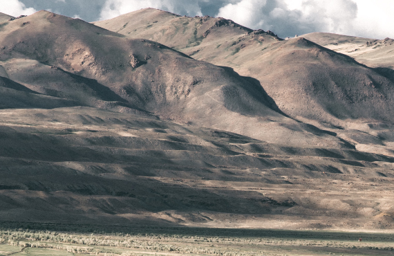
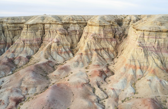
Margosa’s expertise extends to the extraction of high-resolution geomorphological features. We provide scientifically peer- reviewed data and mapping solutions for a wide range of engineering and other scientific disciplines such as geomorphology, geology, hydrology, and ecology.
These surface morphometric properties provide essential input data for analysing and modelling patterns and processes in land-use and land cover change, physical geography, hydrological and climate sciences.
The terrain features are used in computations for:
- Land erosion and landscape denudation dynamics in mountainous environments
- Predicting wildfires, mountain / alpine snow cover and landslide formation
- Flow and erosion processes, and to delineate catchment and stream features
- Siting and planning of infrastructure, high-accuracy viewshed algorithms, and other land surface quantification applications
Collaborations
- Predictive vector-borne disease modelling with the Bill & Melinda Gates Foundation.